HIKING TRAILS
“Getting to the top is optional. Getting down is mandatory.” – Ed Viesturs, American high-altitude mountaineer
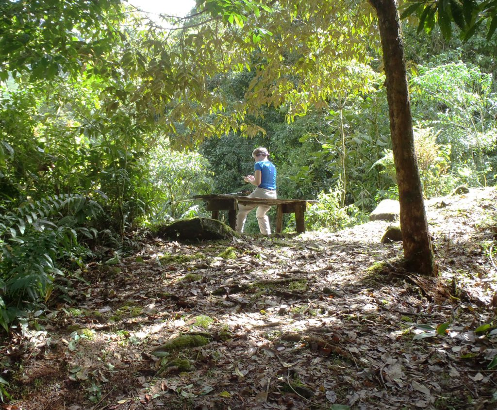
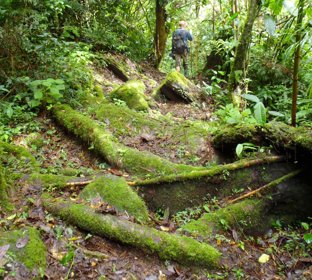
The reserve offers many kilometers of hiking trails that range in difficulty from moderate to strenuous. Each trail has special qualities, including unique wildlife, waterfalls or mountain views. The reserve is open from sunrise to sunset, but the best hiking conditions are usually in the morning, when it is typically cooler and the skies are clear.
Most reserve trails are open to all guests and day visitors. A few trails, marked with ‘Privado’ signs, are reserved for our research projects. We ask day visitors to please stay on the public trails to minimize interference with ongoing research. An entrance fee of USD$10 per person (or 2,500 colones for nationals) is greatly appreciated, as this allows us to meet our maintenance costs on the reserve.


Important / Importante:
Dogs are not allowed at Cloudbrige.
No se permiten perros.
(More Information / Más Información)
Trails
Difficulty: Light
Time (Round-trip): 10 minutes (without stops for viewing)
Distance (Round-trip): 200 m (219 yd)
Elevation: 1575 m (5167 ft)
Map: Memorial Garden Map
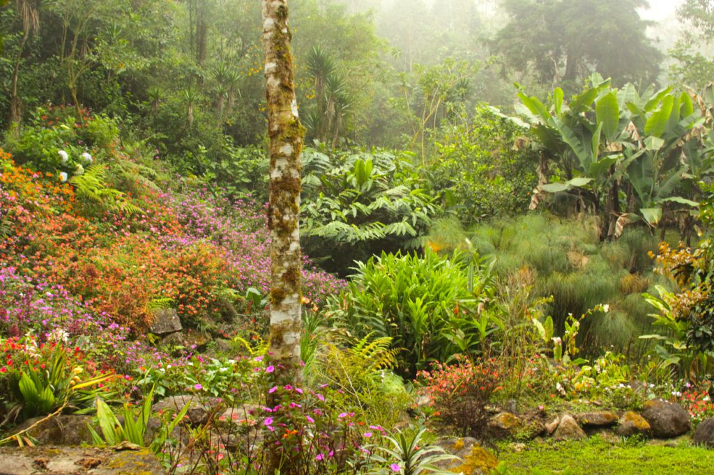
The garden, constructed in memorial for Cloudbridge founder Ian Giddy, is located just a few minutes walk from the parking lot. This is a good option for visitors who want to experience being in the cloud forest, without taking a more challenging hike. There is a gorgeous array of colorful flowers, native plants and cultivars. The garden is a pleasant place to take a break from hiking and to enjoy the many different hummingbirds and butterflies against the backdrop of the cloud forest and the sound of the Rio Chirripó.
Waterfall Trail
Difficulty: Moderate
Time (Round-trip): 40 minutes
Distance (Round-trip): 1 km (0.6 mi)
Elevation: 1550-1625 m (5085-5331 ft)
Map: Waterfall Trail Map
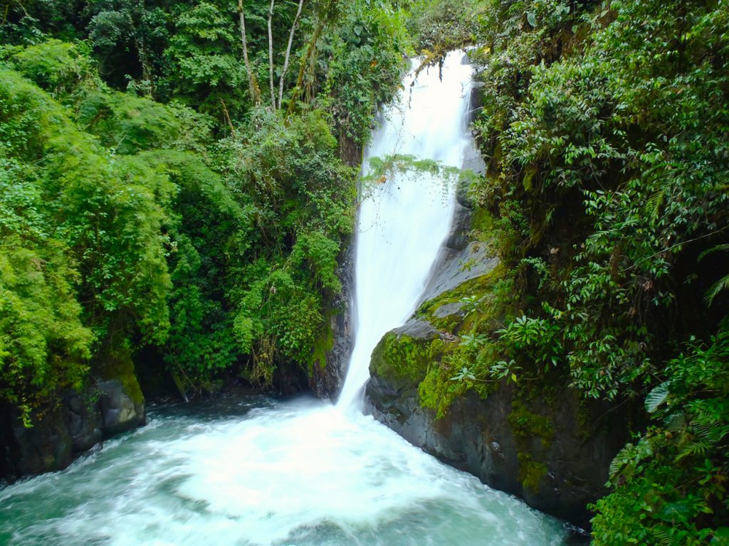
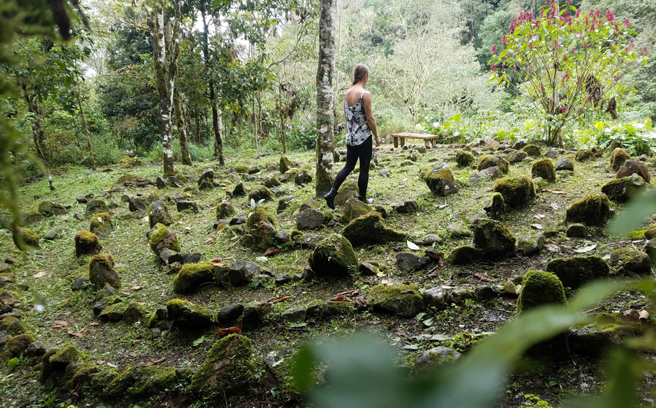
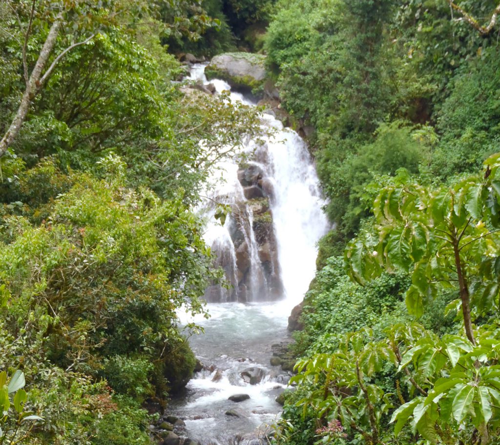
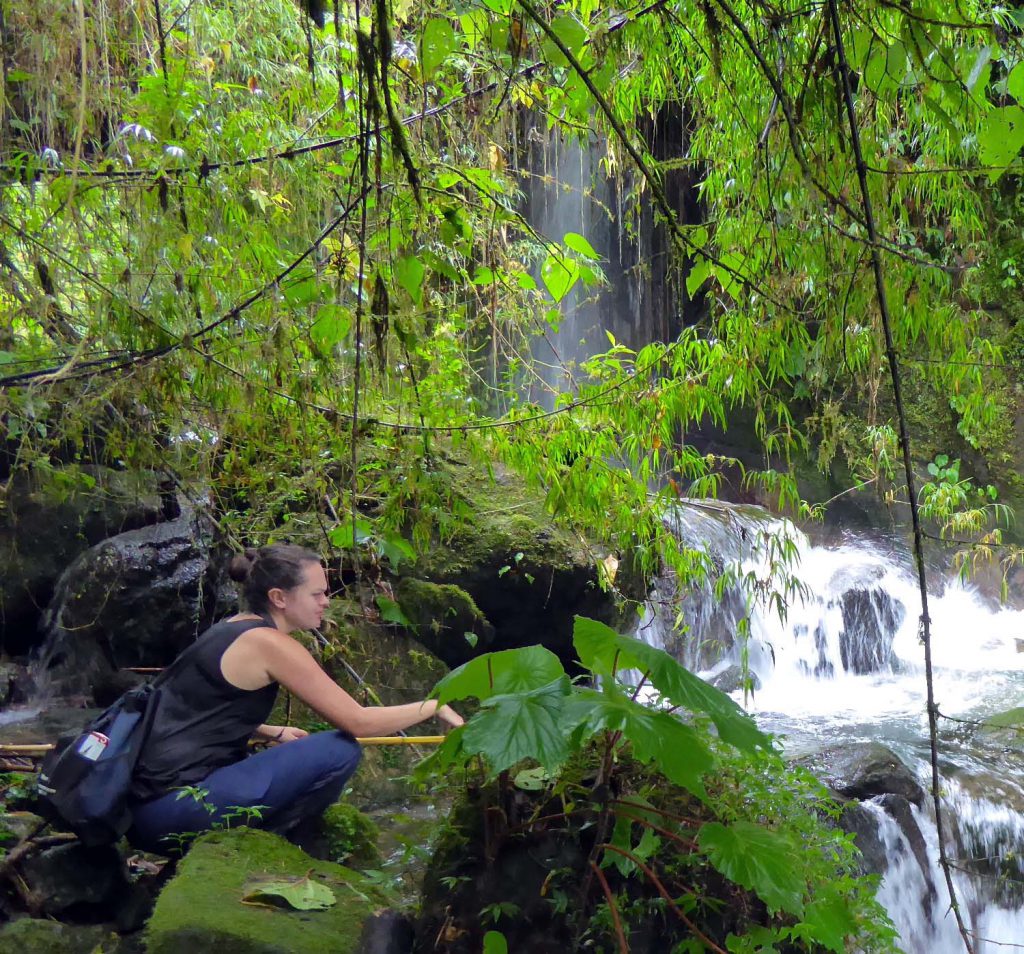
This trail takes you through Ian’s Memorial Garden (see above) and along the Rio Chirripó past the stunning Pacifica and Julia Falls. Walk through one of Cloudbridge’s reforestation plantations and see the young trees starting out their new life in the cloudforest. Stop by the Meditation garden and enjoy the Labyrinth, or, if you’re lucky, sit on a bench and watch the monkeys swinging through the trees in the river valley!
Sendero Montaña Loop
Difficulty: Strenuous
Time (Round-trip): 4-5 hours
Distance (Round-trip): 8 km (5 mi)
Elevation: 1514-2120 m (4967-6955 ft)
Map: Sendero Montaña Loop Map
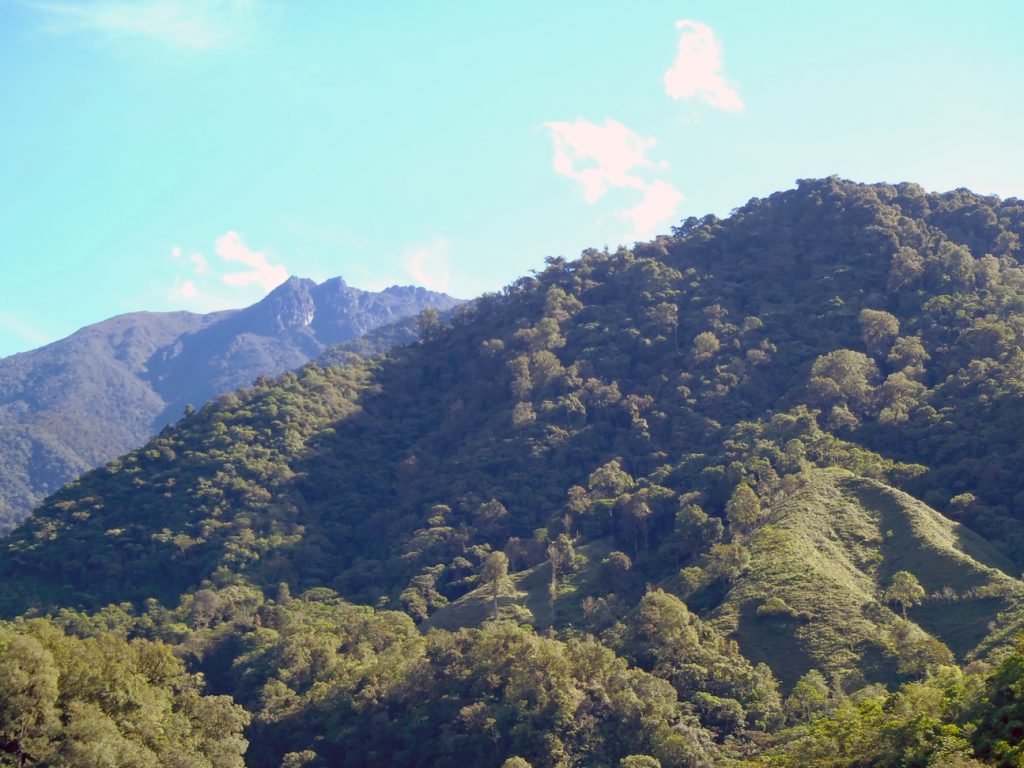
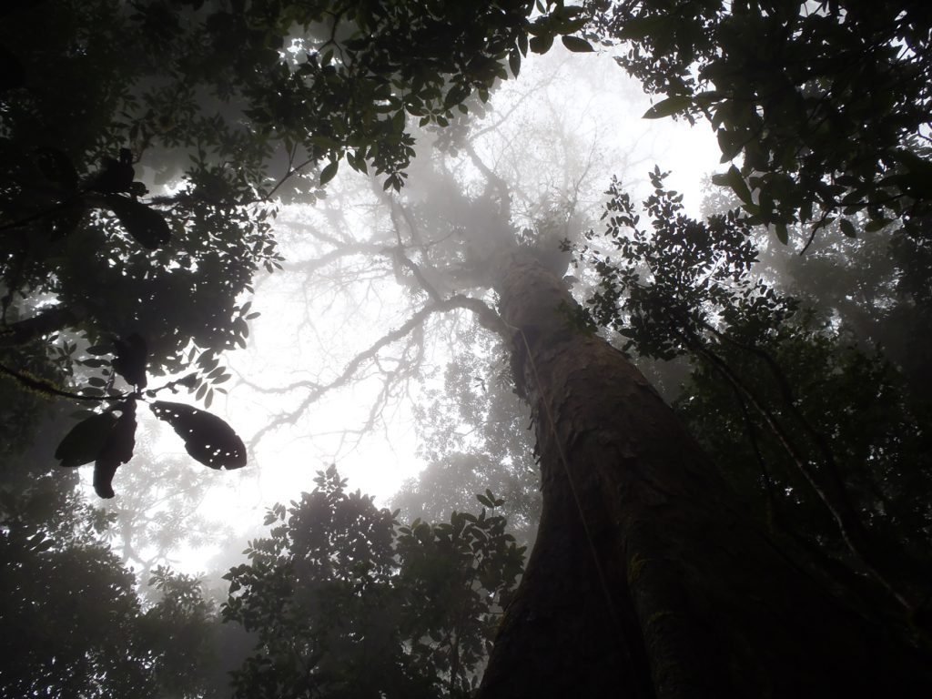
From the Cloudbridge entrance, follow Sendero Principal past the creek crossing, and continue until you see a trail exiting to the right through an old wooden fence. Go right and follow the trail up the steep slope of the Montaña trail. Zigzag up the grassy ridge and enjoy one of the few unobstructed views of the reserve. Clouds rolling up the valley can eliminate visibility in minutes; this can pose a practical challenge, but is also a sight worth seeing. Continuing up the ridge, the path enters forest at about 1920 m (6300 ft), which progresses into old growth forest further up the ridge. Follow the trail uphill for about 1.5 km until it joins the main Chirripó Trail at 2170 m (7150 ft). From there, you can follow the Chirripó trail downhill 4 km, where the trail exits onto the road up to Cloudbridge, just uphill of the Casa Mariposa and Hotel Uran. From there it is an easy 1 km walk back to Cloudbridge.
Difficulty: Moderate
Time (Round-Trip): 20 minutes (from junction with Sendero Principal)
Distance (Round-trip): 350 m (383 yd)
Elevation: 1710-1765 m (5610-5791 ft)
Map: Sentinel Trail Map
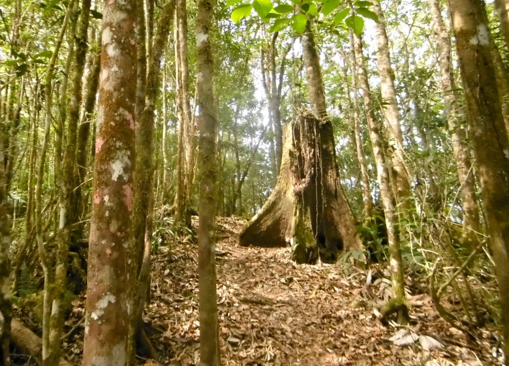
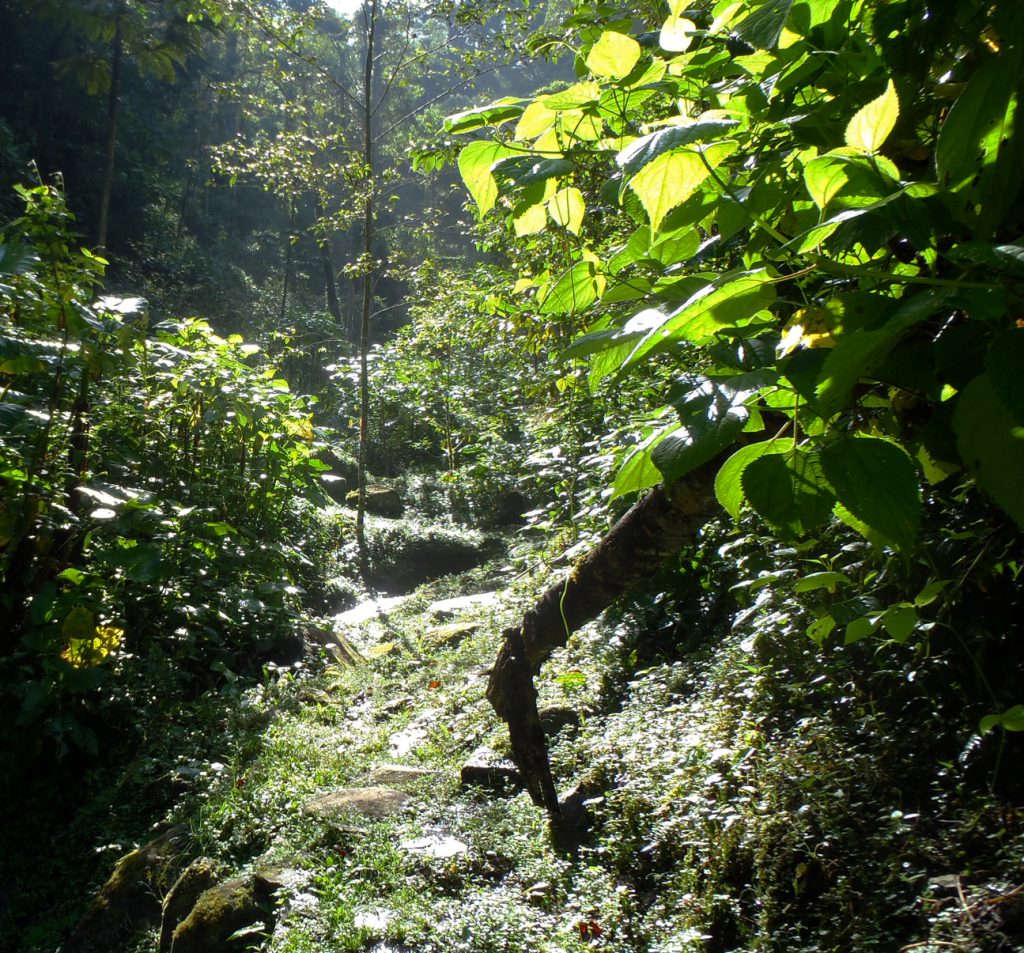
This is a small side trail that takes you through a patch of remnant old growth forest in a small creek valley. The trail branches off to the right from Sendero Principal just before the creek crossing. Cross a small wooden plank and follow the trail along the side of a small creek. The trail can be a bit wet and muddy, so watch your step! At the end of the open area, cross the creek and head up into the forest where several massive trees still stand watch over the valley. The trail forms a loop, so you will be able to return on the other side of the stream. There is a picnic table at the top of the loop, if you would like to enjoy a snack.
Sendero Rio
Difficulty: Moderate
Time (Round-trip): 1.5-3 hours
Distance (Round-trip): 3.4 km (2.1 mi)
Elevation: 1550-1720 m (5085-5643 ft)
Map: Sendero Rio Map
After an initial steep climb up Sendero Principal to the viewpoint overlooking Cloudbridge Falls, follow Sendero Principal past the creek crossing and along the valley until just before the trail begins to descend into the valley. At this point you can enter the Sendero Rio through a gate/gap in the fence to your left. Sendero Rio will take you down into the river valley to walk alongside the roaring, crystal clear waters of the Rio Chirripó Pacifico. Following the river through a reforested area planted in 2002 you will come to a Y in the trail. The left branch is an easy hike back up to the Sendero Principal. The right branch continues on and past Cloudbridge Falls and returns up to Sendero Principal via the “stairmaster”, a steep section to the bench on Sendero Principal just before the descent back to the Welcome Centre.
Cloudbridge North
Difficulty: Strenuous
Time (Round-trip): 4-6 hours
Distance (Round-trip): 6.4 km (4 mi)
Elevation: 1550-1845 m (5085-6053 ft)
Map: Cloudbridge North Map
Take the Sendero Principal past the covered bridge to a fork in the trail. Turn left and continue on the path through a small gate. Continue along the main trail, which winds up the Rio Uran river valley. Eventually the trail will cross the river and bring you to the beautiful Catarata Don Victor.
From there, you may follow the Los Quetzales trail back along the east side of the Rio Uran. One section of the trail can have issues with landslides, so check the condition of the trail at the Welcome Center before hiking. The Los Quetzales trail rejoins the Sendero Principal just north of the suspension bridge.

